


Croix Perrin - pas de L’OURS - refuge de la Molière

pconte
User
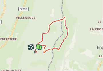

Length
7.5 km

Max alt
1658 m

Uphill gradient
293 m
Km-Effort
11.4 km

Min alt
1484 m

Downhill gradient
293 m
Boucle
Yes
Creation date :
2022-04-28 10:06:14.0
Updated on :
2022-04-29 06:54:50.161
3h10
Difficulty : Medium

FREE GPS app for hiking
 SityTrail
IGN / Geographical institutes
SityTrail Plus
The world is yours!
About
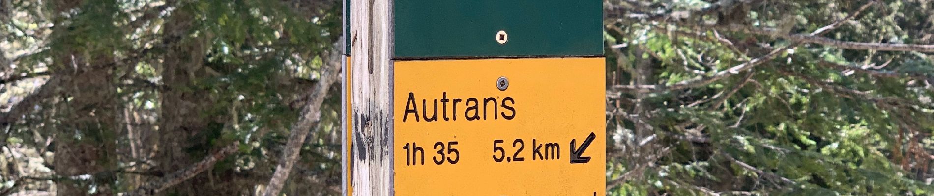
Trail Walking of 7.5 km to be discovered at Auvergne-Rhône-Alpes, Isère, Autrans-Méaudre en Vercors. This trail is proposed by pconte.
Photos


Positioning
Country:
France
Region :
Auvergne-Rhône-Alpes
Department/Province :
Isère
Municipality :
Autrans-Méaudre en Vercors
Location:
Autrans
Start:(Dec)
Start:(UTM)
702376 ; 5005943 (31T) N.
Comments